
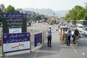


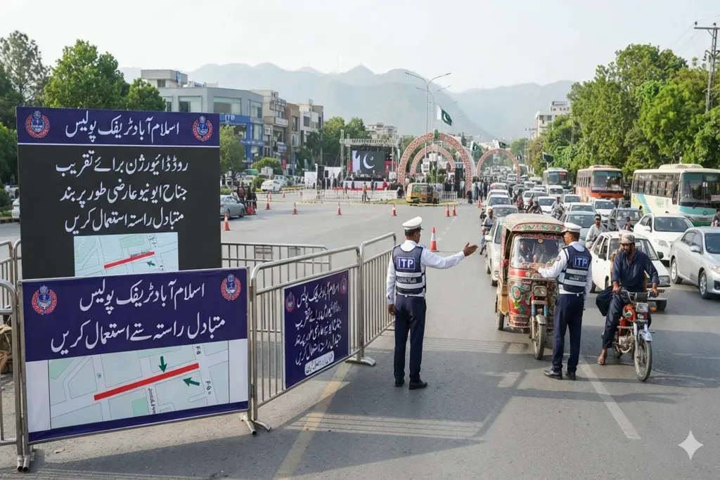
In a major urban management advancement for capital transit coordination, localized security enforcement and public logistics synchronization the Islamabad Traffic Police (ITP) has officially released a comprehensive traffic re-routing and diversion blueprint for the upcoming Yadgar-e-Fatah Monument ceremony. The calculated physical road configurations transition traditional daily commuting pathways into a highly coordinated secure administrative corridor sandbox. Deployed directly through central capital transport dashboards the execution model institutes targeted track closures and shifts localized vehicle flows to safely eliminate congestion loops ahead of the state event .
As federal law enforcement units implement multi-layered safety boundaries around primary monumental zones, maintaining a fluid transit velocity index for commuters remains a top priority. The immediate road closures directly target adjacent access paths to establish a protective barrier grid around the venue. By providing clearly mapped alternative arterial roads alongside active digital broadcast alerts the traffic command successfully dampens gridlock risks, lowers commuter transit friction, and successfully projects a progressive image of smart municipal traffic management onto the national landscape.
Allocation of Core Road Closures and Automated Diversion Nodes
According to the official transit directives published by the ITP communications cell the specialized traffic intervention completely discards standard manual intersections by setting up un-whitelisted boundary blocks across key sub-sectors.
The physical layout changes and temporary routing parameters operate across three primary strategic tracks:
The Federal Board Access Closure: The service road extending from Al-Shifa Hospital toward the Federal Board will remain completely closed to all public vehicular traffic.
The Institutional Sector Block: Faiz Ahmed Faiz Road spanning from the Beaconhouse intersection toward Jaffar Khan Jamali Road is designated as a hard-closed zone.
The Multi-Layered Diversion Grid: Strategic operational diversions are actively deployed from Sahibzada Abdul Qayyum Road toward the Sector I-8 East Service Road alongside an identical interception layer routed from the Al-Shifa signal toward Mir Chakar Road.
Whitelisting Alternative Arteries and Utilizing Live Telemetry Updates
The broader commercial and civic implications of this temporary traffic re-mapping are extensive, directly coordinating the daily travel movements of thousands of twin-city commuters. To ensure total operational transparency and maintain economic mobility across adjacent trade sectors capital transport authorities have formally whitelisted three primary bypass roads for general public integration:
| Closed Traffic Track | Assigned Diversion Destination | Recommended Alternative Route |
| Al-Shifa to Federal Board Service Road | Al-Shifa Signal toward Mir Chakar Road | Mir Chakar Road / Patras Bukhari Road |
| Faiz Ahmed Faiz Road Corridor | Beaconhouse to J.K. Jamali Road Block | Sector I-8 Main Double Road |
| Sahibzada Abdul Qayyum Road Intersect | Sector I-8 East Service Road | Patras Bukhari Road |
Traffic command directors have issued explicit guidelines instructing motorists to strictly avoid haphazard street parking ordering all vehicles to lock exclusively into designated parking areas to prevent spatial constraints. Commuters can ingest real-time traffic updates, live road-clearance logs and event security parameters by tuning into ITP Radio FM 92.4 or refreshing the department’s official social media software accounts. Shifting from slow manual tracking to continuous live broadcasting minimizes logistical transaction friction, anchors commuter trust across public transit channels and safely safeguards metropolitan human development indices.